Trust the Land: Alpine Navigation Without a Signal
Today we explore navigating alpine terrain with paper maps and a trusted compass, a fully GPS‑free guide shaped by hard lessons, crisp mornings, and the quiet certainty of magnetic north. You will learn to translate contours into decisions, balance ambition with safety, and keep moving when mist blurs distances and snow hides paths. Bring curiosity, patience, and a pencil; each ridge, col, and valley will answer when you ask the right cartographic questions and walk those answers with steady, confident steps.
Contours That Speak: Interpreting Mountains on Paper
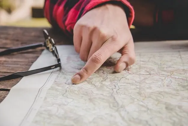
Before a boot touches scree, the map is already telling a story. Contour lines describe the urgency of slopes, the shelter of cirques, and the momentum of ridges. Scale dictates how much detail your eyes can drink in, while symbols whisper of huts, glaciers, ferrata, and boulder fields. Learn to feel distance through your fingertips as they trace a valley’s curve, and let spacing reveal the gradient awaiting your legs. This is how still paper becomes living landscape long before first light.
Scale, Interval, and the Shape of a Day
A 1:25,000 map gifts precision for tricky spurs and gullies, while 1:50,000 offers sweeping context for long ridges and generous detours. Contour intervals of ten or twenty meters translate directly into effort: tight stacks predict burning calves; gentle spreads promise rhythm. Plan rest points where contours flatten near terraces, and expect time to dilate on shaded slopes. Align your ambition to the map’s honesty, then schedule water, warmth, and courage accordingly.
Symbols, Shadows, and Snow
Tiny icons can change big plans. A hut means refuge, a scree symbol warns of rolling ankles, and glacier markings demand roped judgment or cold restraint. Shaded relief hints at aspect and lingering snow, where cornices creep and old footprints mislead. Cross‑check legends, trace stream origins for meltwater clues, and respect cliffs drawn as thick, assertive lines. Let symbols become small conversations with the mountain, shaping routes that feel smart rather than simply bold.
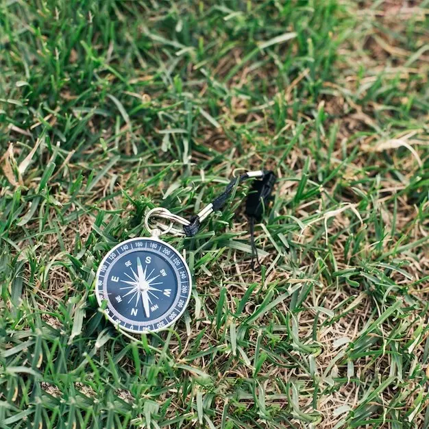
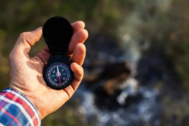
True Direction: Compass Skills That Hold in a Gale
Declination Without Confusion
In much of the Alps, declination is modest, yet ignoring a few degrees can drift you into cliffs or crevasses over hours. Mark the current value on your map margin before leaving the hut, and set the adjustment if your compass allows. If not, add or subtract mentally when transferring bearings. Practice until correction feels automatic, freeing attention for wind, snow texture, and the subtle cues that confirm you are exactly where the map suggested.
Walking a Bearing on Broken Ground
Rarely will you walk a laser‑straight line. Use leapfrogging between teammates, identifying near and far references that align with your bearing. Employ aiming off to deliberately hit one side of a linear feature, then handrail to your objective. Count paces adjusted for slope, pause to breathe and verify, and protect your line from boulder fields that lure zigzags. The discipline seems slow, yet it saves hours otherwise lost to hopeful wandering.
Triangulation and Resection When Landmarks Hide
When cloud windows open briefly, seize them. Take bearings to two recognizable ridges or summits and draw lines back on the map to intersect your position. If only one feature is visible, combine it with a linear element like a river bend for resection. The pencil becomes a rescue rope, turning seconds of clarity into precise location. Train this at home on clear days, so muscle memory delivers calm when snowflakes thicken.
Time, Distance, and Energy
Estimate hours with Naismith’s Rule, then add margins for snow, talus, and storytelling breaks. Steep ground taxes descent as well as ascent; quads negotiate with gravity at their own speed. Consider daylight arcs, water access, and the group’s slowest hiker as the metronome. Mark bailout options every ninety minutes, and place warm food where morale usually dips. A plan that respects physiology makes courage sustainable rather than borrowed against tomorrow.
Choosing Safe Corridors
Map out slopes between thirty and forty‑five degrees with suspicion during unstable snow, and prefer ridges where wind scours rather than loads. Avoid terrain traps—gullies, depressions, and road cuts—telegraphed by converging contours. Seek benches that offer reassessment without exposure, and crossings where streams flatten. Let the safest line be the most elegant, tracing features that naturally hold your hand. Safety read on paper becomes fluid grace beneath your boots.
Micro‑Navigation in Whiteouts and Night
When the world shrinks to a silent bubble, detail becomes destiny. Short legs between catching features, deliberate compass work, and disciplined pacing protect progress when starlight or snowfall erases horizons. Plan leg lengths to match visibility, and speak position out loud to synchronize the group’s mental map. Gentle confidence grows with each verified point, until darkness feels like a partner rather than a threat, and the next cairn appears exactly where your pencil promised.
Use streams, ridge crests, and long snow fences as guiding edges that forgive small errors. Aim for an unmistakable catching feature—a lake outlet, a hut wall, a path junction—then launch a short bearing to your precise goal. Each leg earns confirmation, replacing anxiety with momentum. If a feature is missed, stop immediately and reset rather than compounding drift. String enough reliable beads, and the necklace carries you home through silence.
Know your double‑step counts for one hundred meters on flat, up, and down terrain, then adjust for deep snow or rubble. Use a clinometer or compass edge to judge slope angle, avoiding loaded pitches foretold by the map. Time each leg, compare expectation with reality, and treat discrepancies as friendly alarms. These analog numbers feel modest, yet they weave a safety net that catches small mistakes before they grow teeth.
Agree on signals for stop, confirm, and reorient before the storm arrives. Walk at talking distance when visibility thins, rotating the lead to share cognitive load. Read the map together at checkpoints so everyone carries the plan, not just one navigator. Celebrate small confirmations—a stream bend, a rock rib—as shared victories. Cohesion is navigation’s secret multiplier, turning scattered eyes into one precise instrument that still functions when batteries would have quit.
Altitude, Weather, and the Mountain’s Mood
Paper and compass thrive when you respect the sky’s personality. Pressure changes reshape effort, wind sculpts drifts across expected lines, and aspect decides whether your microspikes bite or skate. Use contours to predict sun windows and shadowed cold sinks where decisions slow. Build in warm shelters on the map, not in imagination. When the mountain speaks through cloud and cornice, answer by adjusting your line, trusting skill more than stubbornness.
Barometric Clues Without a Forecast
If you carry a simple analog altimeter, recalibrate at known elevations like huts or passes, then watch drift as a proxy for pressure swings. Without one, use contour‑verified altitude checks to sense whether weather is deepening. Falling pressure often brings gusts that scramble balance and erase tracks. Treat these hints as instructions to shorten legs, choose firmer handrails, and pause for reassessment. The best forecast can be the humble numbers you gather yourself.
Cloud, Wind, and Snow Tells
Lenticular clouds foretell strong winds aloft that may cascade into saddles, while streamers off ridges reveal loading on lee slopes. Surface hoar glittering in hollows warns that buried weak layers may lurk on similar aspects higher up. Track these stories across the map’s aspects and elevations. When evidence converges, reroute without drama. Quiet pivots now write triumphant entries later, where the only brag is how calmly you read what the mountain offered.
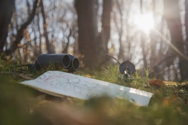
Fieldcraft for Paper Tools
Analog tools demand quiet care. Fold maps along the day’s corridor for swift access, and protect them from sleet inside clear sleeves that still accept pencil marks. Keep a soft, reliable compass free from metallic clutter, and practice quick bearings until it feels like tying laces. Write leg plans in generous letters your shivering hands can read. Small rituals compound into resilience, turning crumpled paper and a needle into a professional‑grade navigation kit.
Stories from the Edge and Ways to Learn Together
Experience cements skill. Moments of doubt on a fog‑shrouded pass become classrooms when reflected upon with a warm drink and a pencil. Share lessons, ask questions, and trade routes that worked despite surprise. Practice days can be joyful, playful, and deliberately small, where errors remain friendly and insights grow loud. Join our circle by contributing your tales, subscribing for fresh drills, and inviting friends who still believe only buttons can find a way home.
A Foggy Traverse That Ended Well
We once left a sunlit hut and entered milk‑white silence on the ridge in minutes. Pacing shortened, legs grew cautious, and the compass handled conversation. Aiming off to hit a stream bend, we handrailed to a bench the map promised. Laughter came at the hut door later, not because luck arrived, but because habits had been quietly rehearsed for months. Share your own near‑misses that became clean victories through simple, repeatable steps.
Practice Drills That Build Calm
Set up low‑risk exercises: walk a bearing across a field to a hidden flag, then resection from two church spires back to your exact picnic spot. Time legs on hills and track pace counts with beads. Introduce wind, darkness, and noise one at a time until confidence feels ordinary. These games turn nerves into muscle memory, preparing you to smile when snow makes the world small and the compass asks you to trust.
Join the Conversation
Tell us where your paper map surprised you with clarity, or where a bearing carried you through doubt. Ask for route critiques, share hut recommendations, or request drills for tricky glacial valleys. Subscribe to receive printable checklists and new exercises, and invite a friend who needs a nudge off the screen. Together, we can keep the craft alive—steady steps, sharp pencils, and decisions that honor the mountain’s honest language.
All Rights Reserved.